New Map Makes Pesticide Records Easier to Find
SprayMapCA brings scattered state and federal data into one place.
3 min read
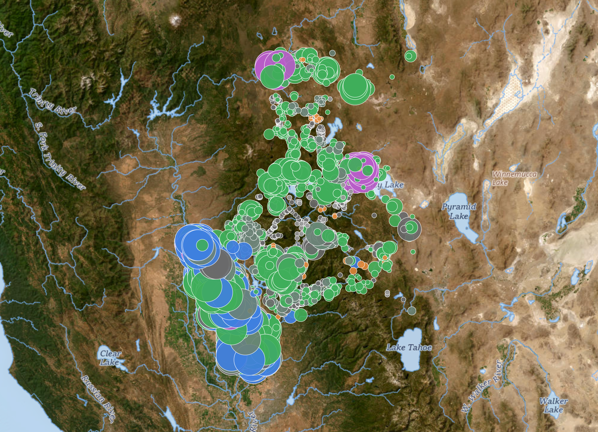
Pesticide spray locations in Northern Sierra counties collected by SprayMapCA. Credit: SprayMapCA.
PLUMAS COUNTY — Finding public records of pesticide use in California’s forests can mean searching across several government agencies, sorting through documents not designed with the general public in mind, or even issuing public records requests. A new locally developed website aims to make the search easier. SprayMapCA brings state, county, and federal records together in an interactive map that can be explored by region or county.
“The project grew out of concerns about the lack of public access to information on synthetic pesticide spraying across California’s forests,” says Taylor Durgan of the Plumas Grassroots Collective. The term “pesticide” is used to cover herbicides, insecticides, fungicides, rodenticides, and other products used to control unwanted organisms.
An April investigation by reporter Nate Halverson for Mother Jones and Reveal became a major catalyst for the project, Durgan said. Halverson examined glyphosate use on public and private forest land near Lassen National Forest, including its use to suppress competing vegetation during post-fire reforestation. His reporting also showed how difficult it could be for nearby residents to determine where and when spraying had occurred.
Durgan said the Plumas Grassroots Collective was established in July and brings together community members, volunteers, and collaborators. The group seeks to improve access to land-management information and encourage public involvement in decisions affecting forests, watersheds, and rural communities. For SprayMapCA, the collective files records requests, checks and organizes the responses, develops the map, and maintains the database.
At spraymapca.org, a visitor can choose Plumas County and see the map fill with colored dots representing reported activity. The display can be filtered by pesticide class or data source and viewed over street, topographic, or satellite imagery. Tables offer another way to examine the records by year, active ingredient, land type, or operator.
The Plumas County dashboard displayed 3,967 mapped records from 2020 through 2026. Of those, 2,183 were classified as herbicides, 688 as adjuvants—substances added to improve a pesticide product’s performance—105 as insecticides, and 59 as fungicides. The remaining records fell into smaller categories or could not be classified.
Of the 3,967 mapped Plumas records, 3,560 came from California pesticide-use reports, and 407 came from the U.S. Forest Service’s Forest Activity Tracking System. Where county permit rosters are available, the map translates coded permit numbers into operator names, including Sierra Pacific Industries, Collins Pine Company, W.M. Beaty & Associates, and the Plumas National Forest.
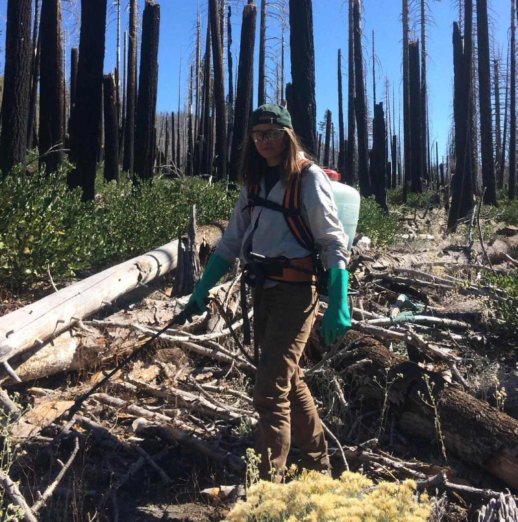
A Lassen Volcanic National Park invasive plant crewmember sprays for Bull Thistle in the Reading Fire burn area. Photo: National Park Service.
Durgan said the project draws from pesticide-use reports, treatment maps, project plans, and other documents obtained through state and federal public-records laws. Sources include the Forest Service, the Plumas County Agricultural Commissioner’s Office, and other government agencies. Before records appear online, the collective reviews and standardizes the information and converts usable locations into map coordinates.
The map also comes with important limits. “SprayMapCA represents the best available public records, but it is not a complete record of every pesticide application in California,” Durgan said. Coverage varies by place and year, records without usable coordinates cannot be mapped, and some federal entries represent planned or authorized treatments rather than confirmed applications. Durgan says entries in California’s pesticide reporting system may also be delayed since counties must process millions of records before annual datasets are published, and a significant amount of data is still missing from 2024 through 2026.
Durgan said the collective plans to keep filing records requests, expand coverage, and correct or refine existing entries. She says that donations to the non-profit will go not only toward the map but also toward funding independent water-quality testing. The group hopes the map will be useful for research, journalism, public education, and community discussions.