NWS Upgrades to Red Flag Warning for California Central Valley
Strong north winds and low humidity now signal critical wildfire risk across the region this weekend.
2 min read
Updated
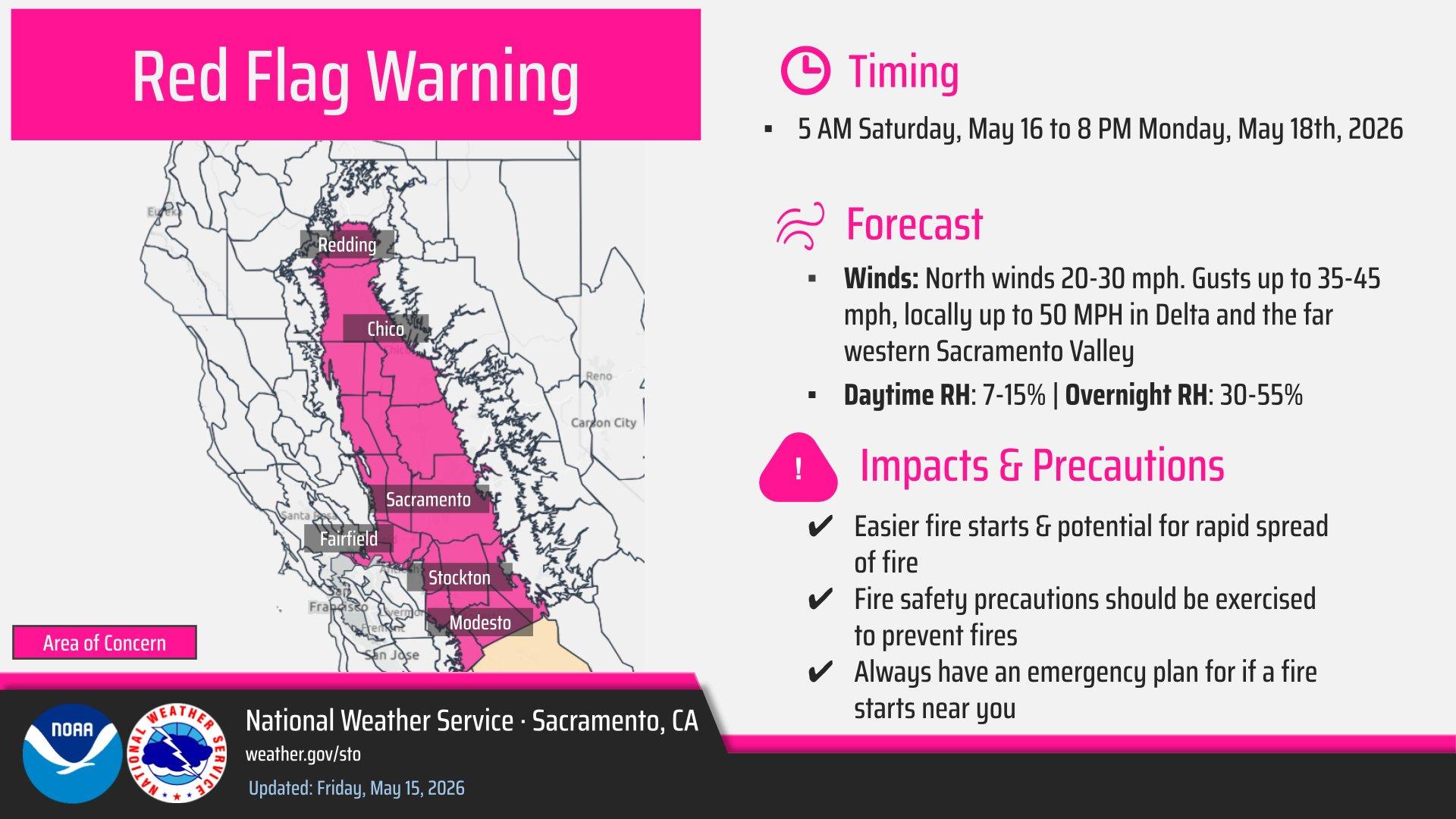
An alert infographic shared by the National Weather Service.
The National Weather Service office in Sacramento upgraded its Fire Weather Watch to a Red Flag Warning on Friday for most of the California Central Valley. The alert covers the Sacramento Valley, the Sacramento-San Joaquin River Delta, and the northern San Joaquin Valley. The warning takes effect at 5 AM Saturday and lasts until 8 PM Monday.
North winds of 20 to 30 miles per hour will develop, with gusts reaching 35 to 45 miles per hour, and locally up to 50 miles per hour, around the Delta and far western Sacramento Valley. Daytime relative humidity values will drop to 7 to 15 percent. Strongest winds are expected Saturday night through Sunday. These factors create conditions in which fires can ignite easily and spread rapidly once started.
Affected counties include Tehama, Glenn, Butte, Colusa, Sutter, Yuba, Yolo, Solano, Sacramento, San Joaquin, and Stanislaus, with emphasis on valley-floor areas below 1,000 feet in elevation. The warning also includes the Delta region near Stockton. The highest threat exists along and west of the Interstate 5 corridor in the Sacramento Valley.
A Red Flag Warning means that critical fire weather conditions are either occurring now or will occur shortly. The combination of gusty winds and low humidity can cause a fire to rapidly grow in size and intensity.
Residents should avoid outdoor burning and activities that produce sparks, such as operating power equipment during afternoon hours. Emergency plans should remain ready in case conditions worsen. Local fire departments recommend clearing vegetation around homes before the winds arrive and checking current burn ordinances. Updates will come from the National Weather Service.